Peter Kovesi
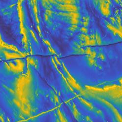
Dr. Kovesi of the Centre for Exploration Targeting at The University of Western Australia has produced six sets of carefully designed perceptually uniform colour maps with applications in cartography and scientific illustration in mind. See the paper: , Good Colour Maps: How to Design Them (2015). DOI
The ColorCET site is dedicated to these colour maps, describing their motivation and design, and with numerous examples of usage (and with many more formats for download than are available here).